8. Panoramic Monfragüe
Panoramic Monfragüe

Nearest village
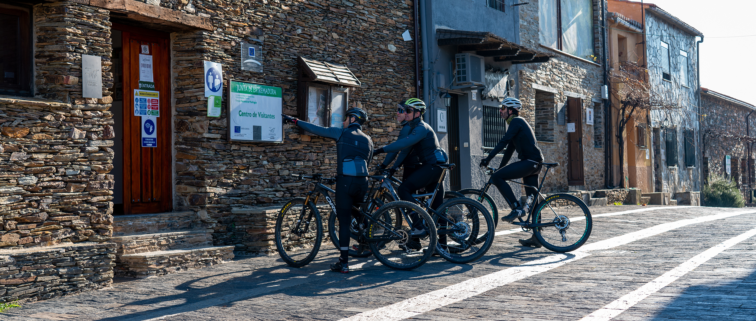
Villarreal de San Carlos
29,3
KM
Route
Round trip
Leaving the route
Villarreal de San Carlos
Difficulty
Low
Difference in height
369,71
Duration
2 h
Profile of the itinerary

Description of the route
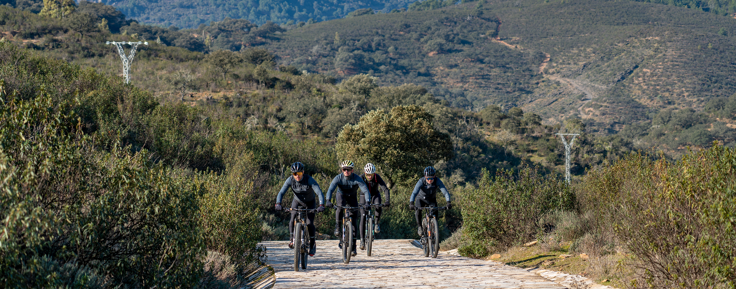
This simple easy itinerary in the form of a linear route combining tarmac (18 km) with dirt roads in good condition (11 km) is suitable for all levels of fitness.
Special attention must be paid to the presence of vehicles and hikers as the road is narrow and winding and has no verge. Take care also with road junctions and the level crossings without barriers shortly before arriving in Toril.
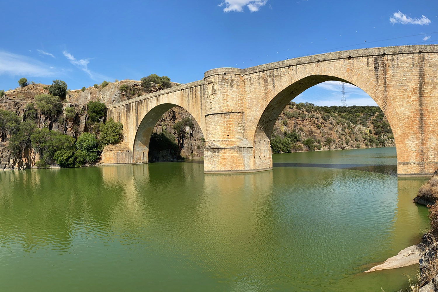
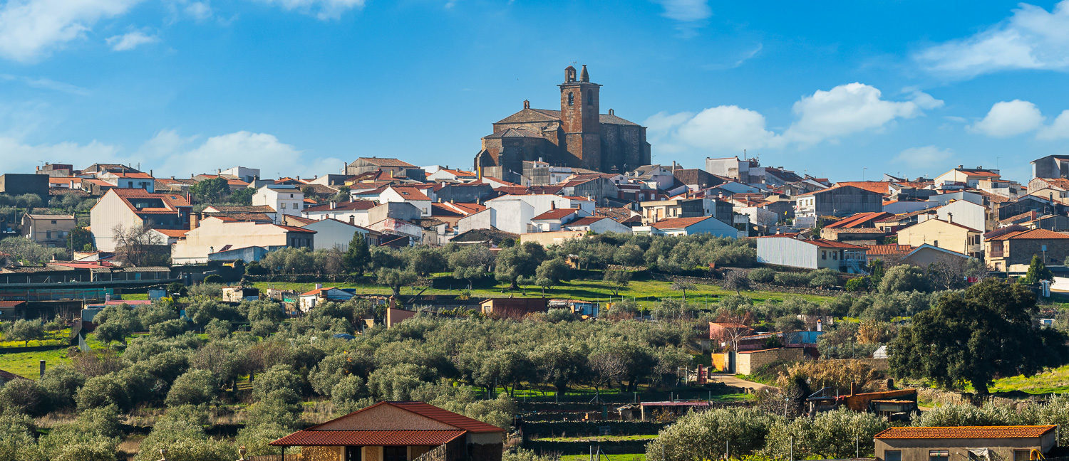
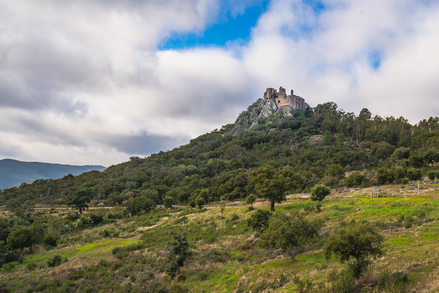
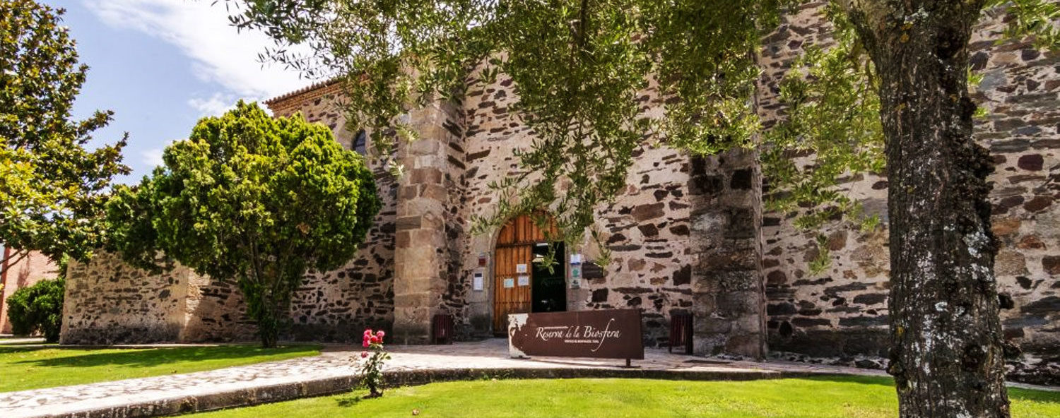
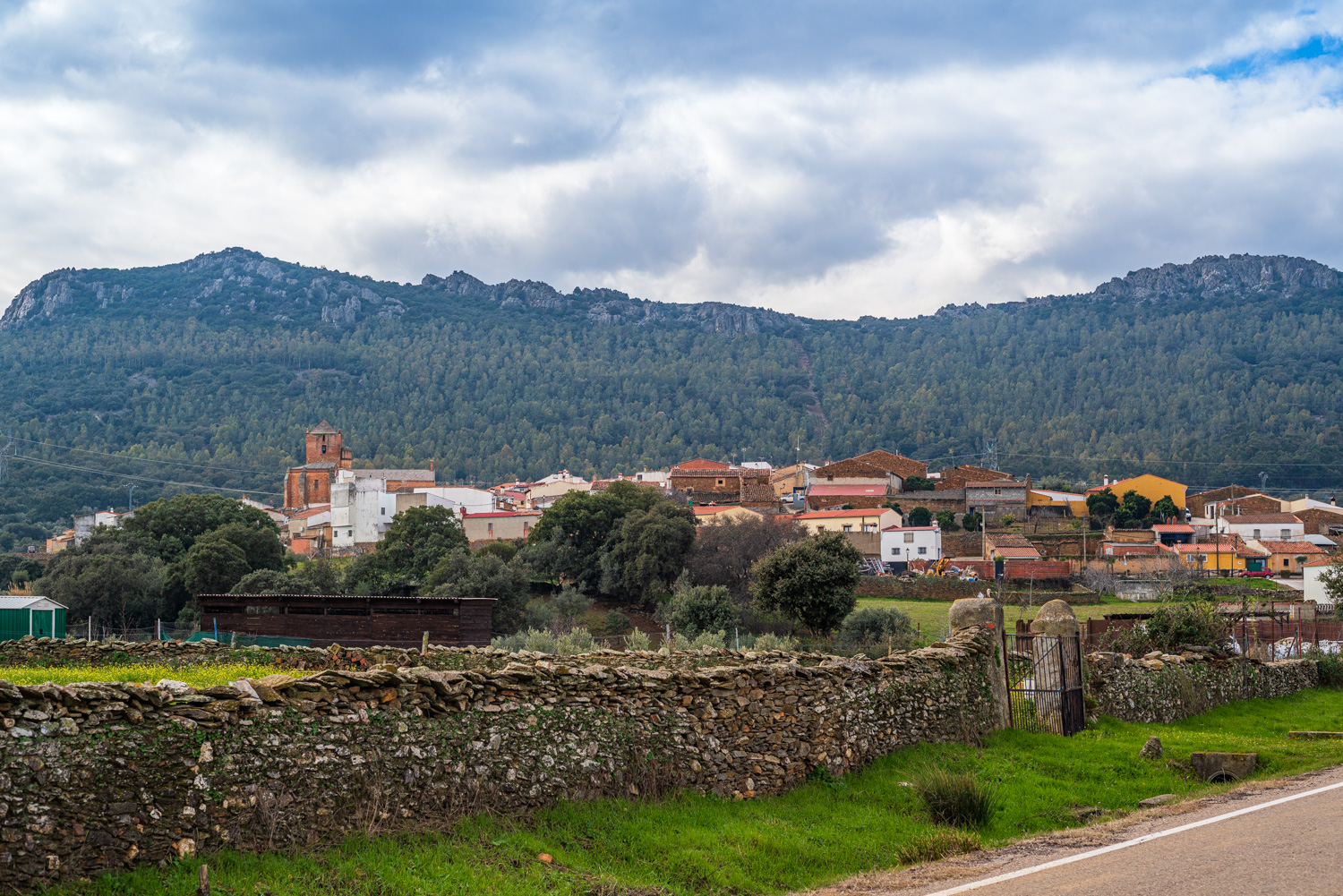
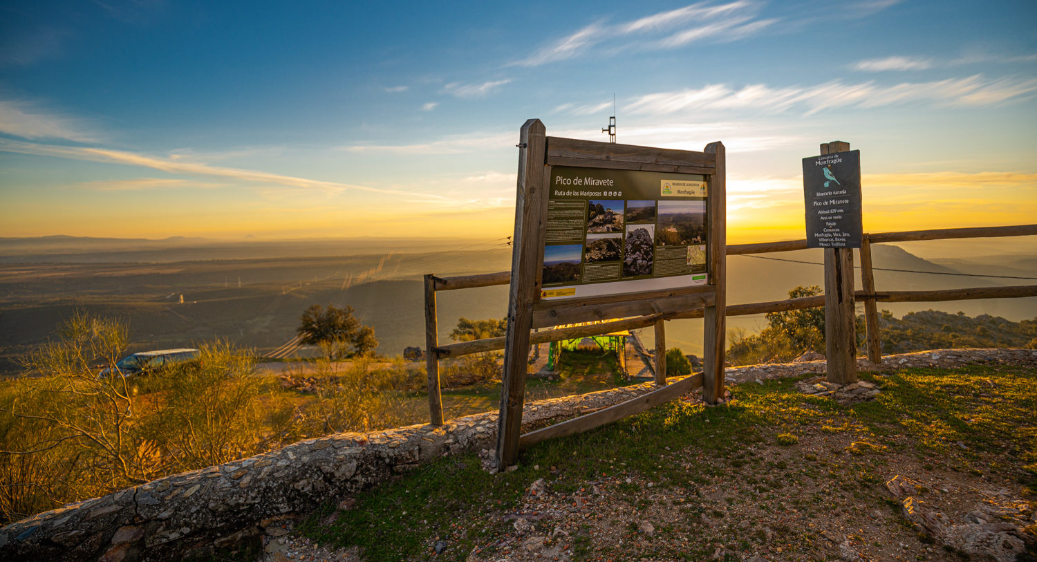
The route begins alongside the Chapel of the Virgen del Socorro in Villarreal de San Carlos which we leave on the Plasencia road to then take the turning towards the Saltos de Torrejón. This first section of 5 km to the Torrejón-Tiétar Dam follows a winding road with steep slopes which is extremely picturesque and of great geological interest. Viewpoints such as El Pliegue, the Fuente de los Tres Caños, and La Tajadilla afford spectacular views. The Appalachian relief, the riverside vegetation, the large birds of prey in flight, and the red deer are the main attractions of this route. Beyond the dam, La Malavuelta is another excellent observation point for the wildlife of Monfragüe. The second section of the route reaches the river gorge of the Portilla del Tiétar, which is very close to the northern limit of the National Park. The last section of 11.2 km runs through spectacular dehesas of holm and cork oaks to the unusual village of Toril, where you can visit its Biosphere Reserve Interpretation Centre, eat, and rest.