7. La Raña
La Raña

Nearest village
Casas de Miravete
28,4
KM
Route
Round trip
Leaving the route
Casas de Miravete
Difficulty
Low/Average
Difference in height
496,55 m
Duration
2 h
Profile of the itinerary

Description of the route
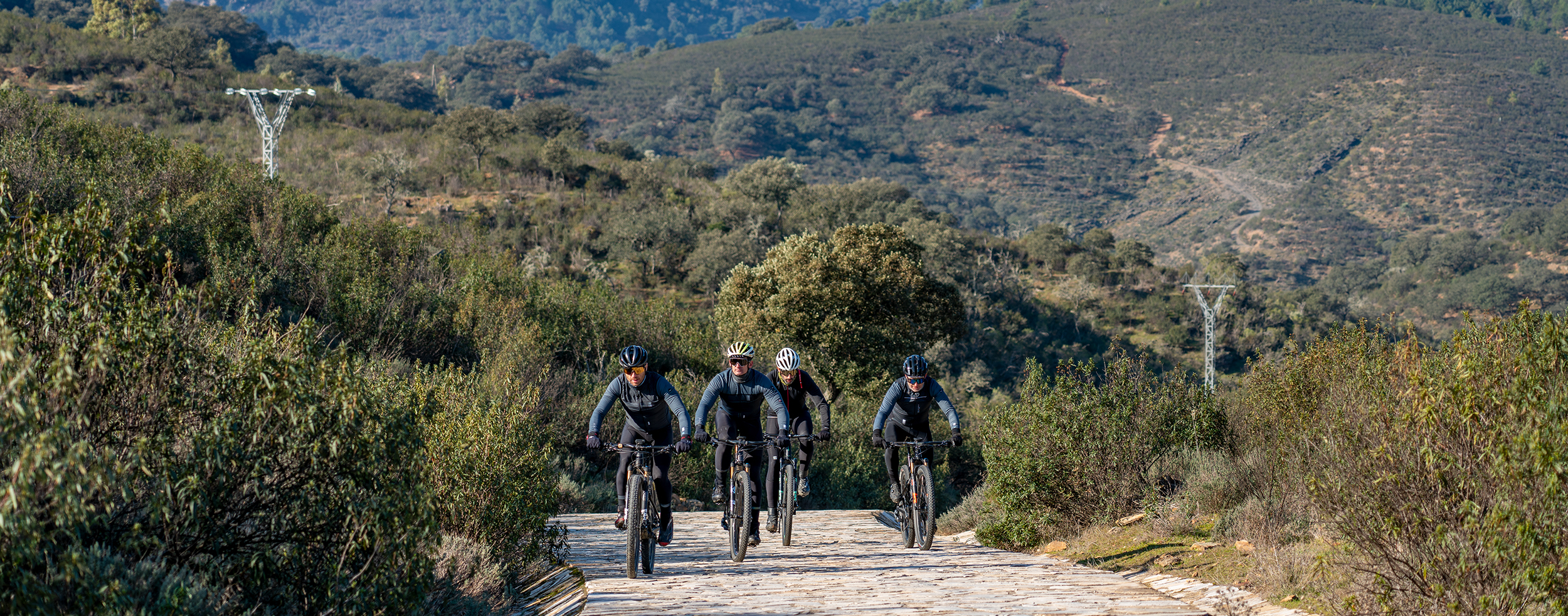
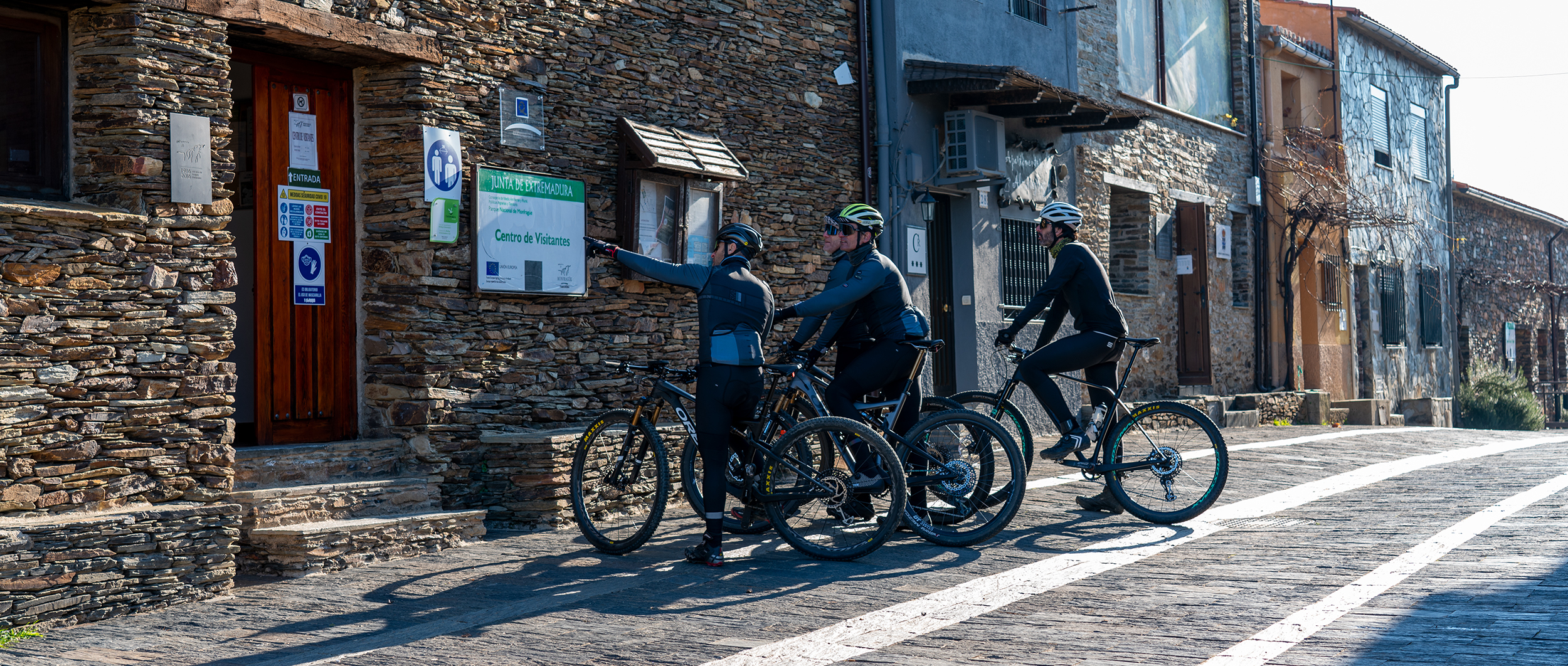
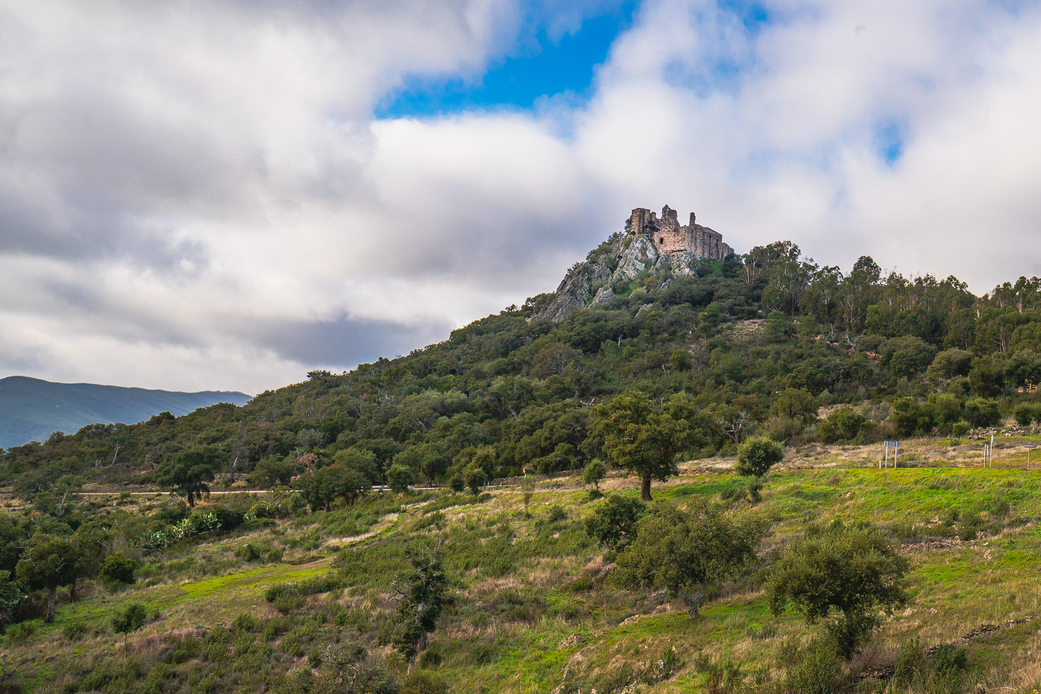
This is a fairly demanding itinerary owing to its ascent to the pass known as the Puerto de Miravete (666 m) both owing to the height gained and the stony surface on the last section. The remainder of the route follows well-defined dirt roads in good condition together with short sections of surfaced road and several junctions on the way.
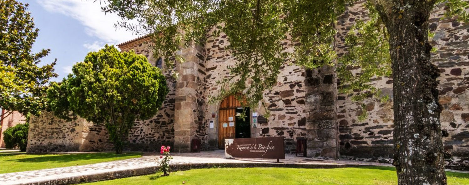
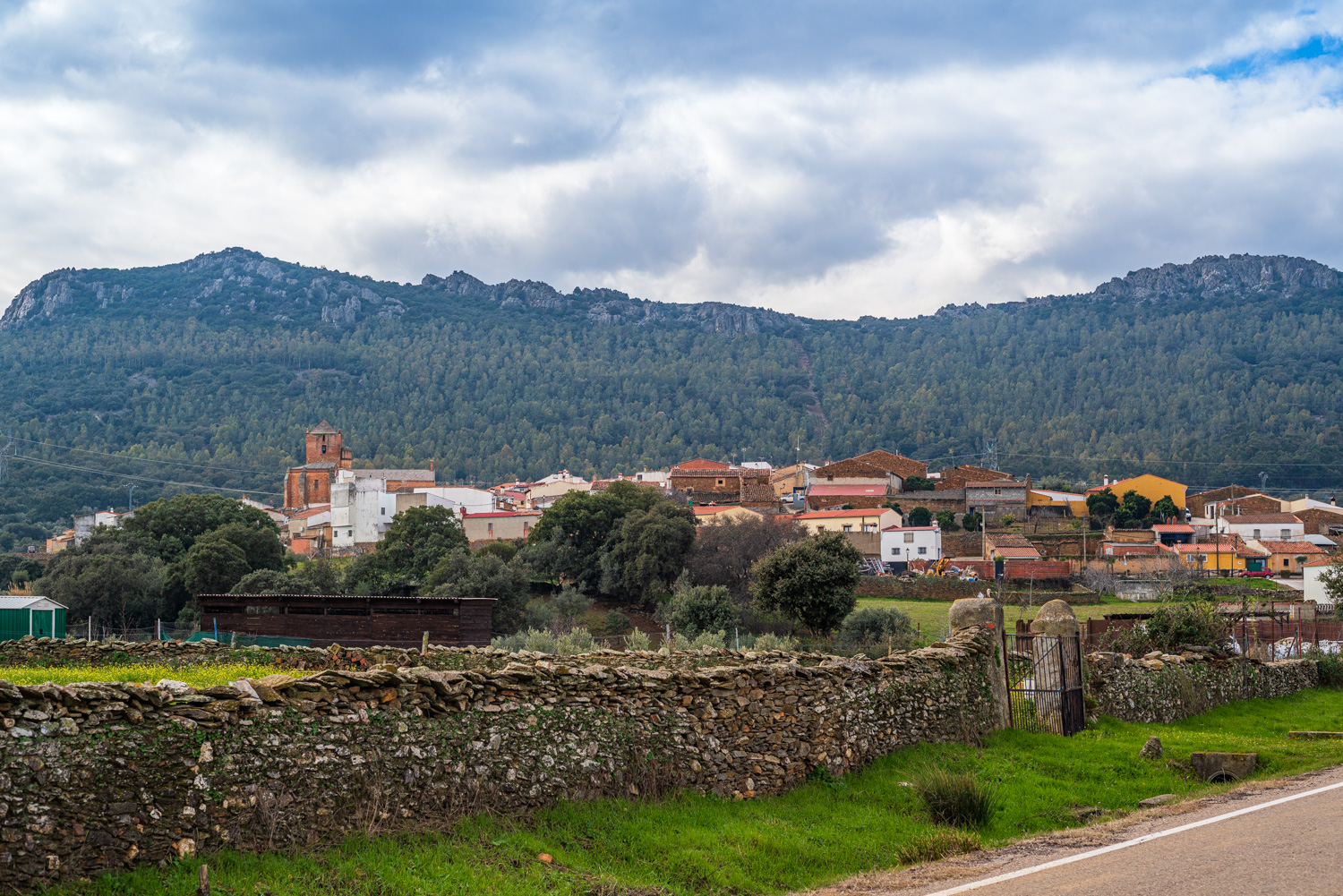
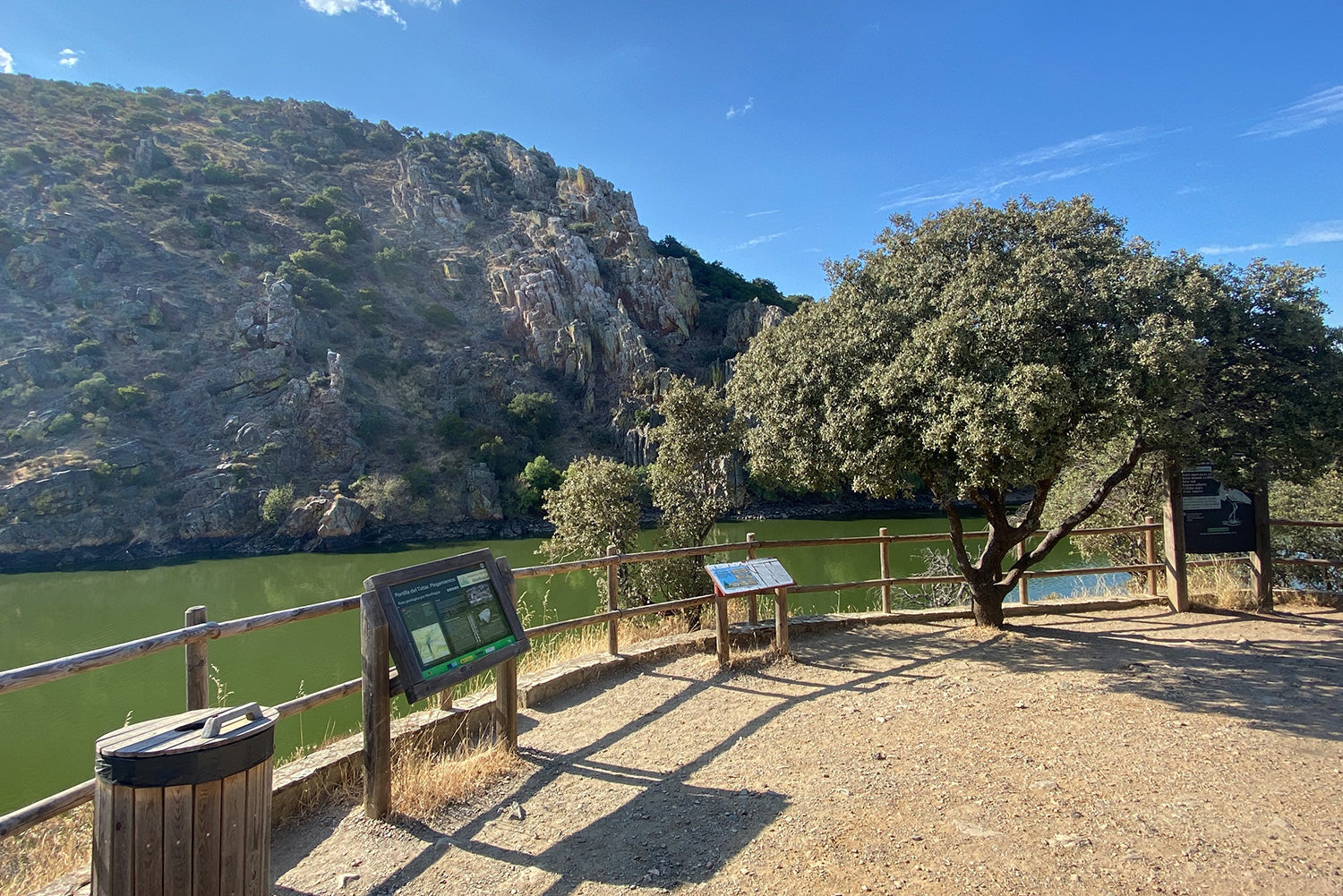
It starts at the Monfragüe Geology Interpretation Centre and climbs to the Puerto de Miravete (666 m) where a rest area allows you to get your breath back and enjoy the landscape between the Sierra de Piatones and the Sierra del Frontal. The route continues along the Puerto de Miravete Royal Drovers’ Road to the N-V towards Deleitosa until you reach “Las Ventas”, a geological enclave and strategic junction where the Western León Royal Drovers’ Road joins the road to Deleitosa. A marked trail will take us to Jaraicejo among olive groves and an undulating landscape of holm and cork oaks dotted with broom and gum rockrose with the odd section of loose stones, mud, and water in the rainy season. The Fuente de Arriba in Jaraicejo is the ideal place to take a break and contemplate the imposing silhouette of the parish church of La Asunción. The last stage to Deleitosa follows lanes alongside stone walls and a section of surfaced road until the A-5 motorway has been passed, where a farm track between holm and cork oaks will take us to the end of the route: Deleitosa.