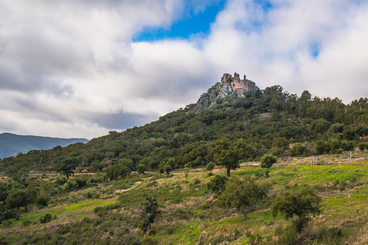
5. Dehesas de Arrocampo
Dehesas de Arrocampo

Nearest village
Toril
39,7
KM
Route
Circular
Leaving the route
Toril
Difficulty
Low
Difference in height
210,53
Duration
2:30 h
Profile of the itinerary

Description of the route
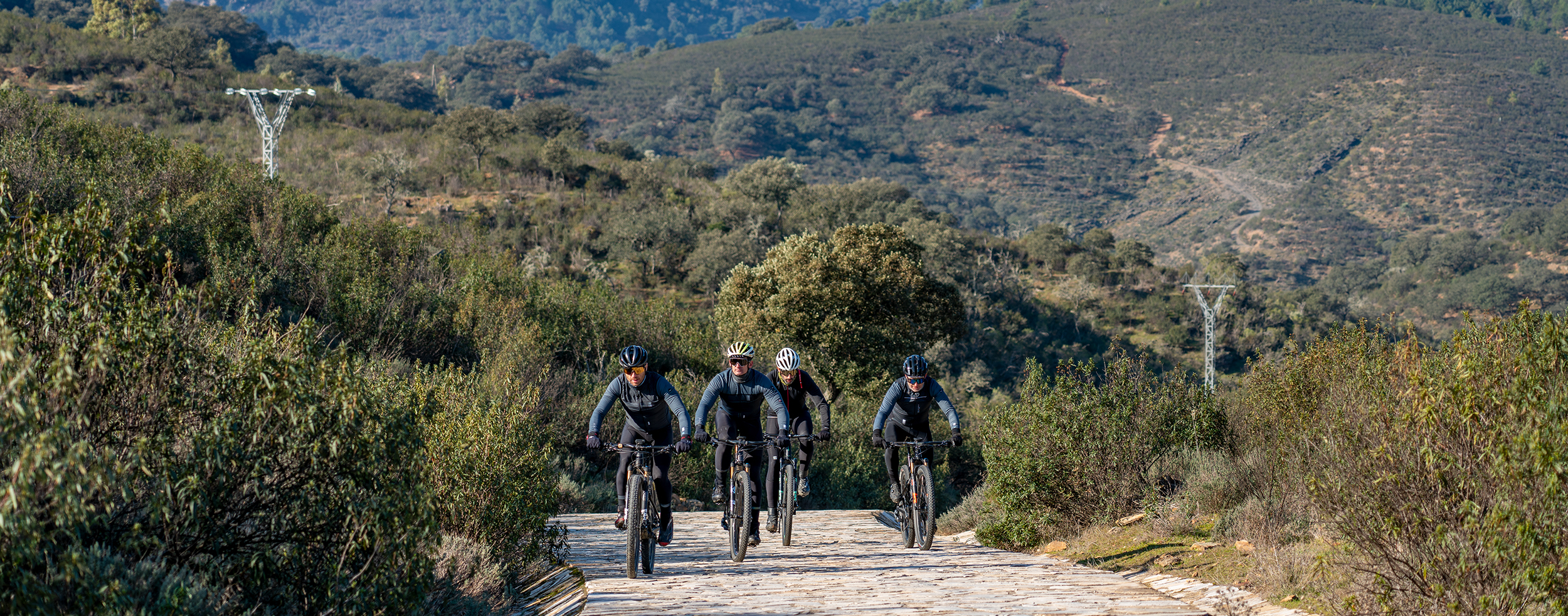
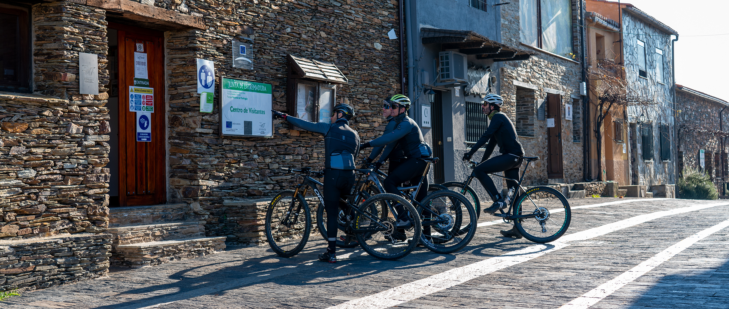
This route has no real complications and for the most part follows well-defined dirt roads in good condition with the odd section of surfaced road. Care should be taken on the level crossing when leaving Toril and with the road junctions.
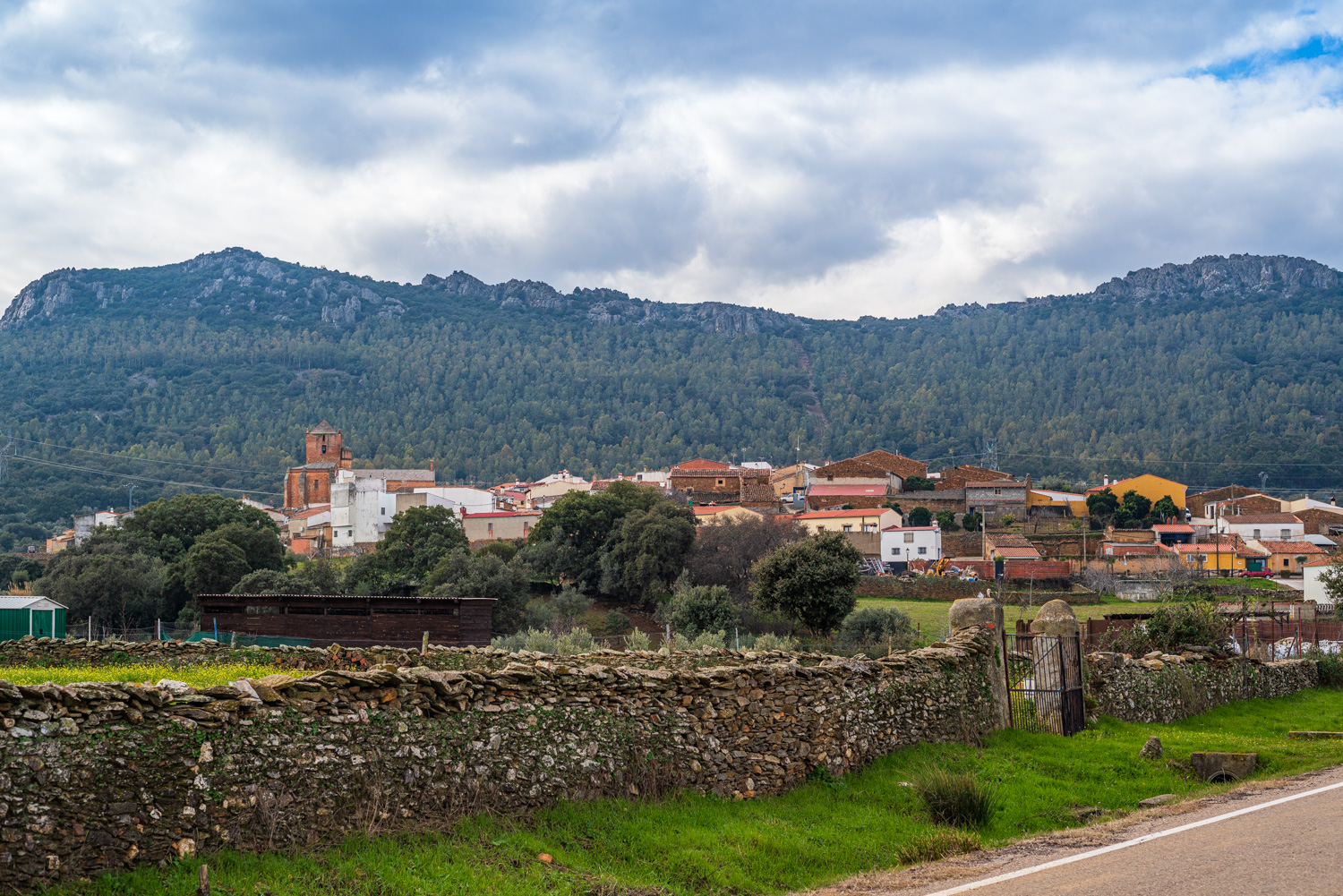
From the Arrocampo Bird Park we take the La Aceña road towards the Colorado Bridge, the Arroyo Grande del Charco Salado, and the Mocho Bridge to ride through a dehesa of holm oaks with streams and pools, where with a bit of luck red deer can be observed. The route continues by road to Serrejón, where we take a trail towards Saucedilla, a Special Bird Protection Area, which is reached after 15 km of trail and surfaced road alongside the irrigation channel of Valdecañas, passing the La Anguila Reservoir which is surrounded by spectacular dehesas and wetlands.
The trail follows the Almaraz-Arrocampo Reservoir and the nearby lakes of the irrigable areas where an unusual avifauna can be seen which is hard to find in the interior of the Iberian Peninsula. In the vicinity of the Church of San Juan Bautista we come to an important colony of lesser kestrels which take advantage of the cavities available for nesting. The route continues along a flat trail between irrigated and unirrigated crops to the bullring of Casatejada and after passing through a few streets makes for the Chapel of Las Angustias, following the old Las Mestas trail back to Toril on dehesas of holm and cork oaks and beneath the shade of the imposing Palacio de las Cabezas.