2. Tajo Trail
Tajo Trail

Nearest village
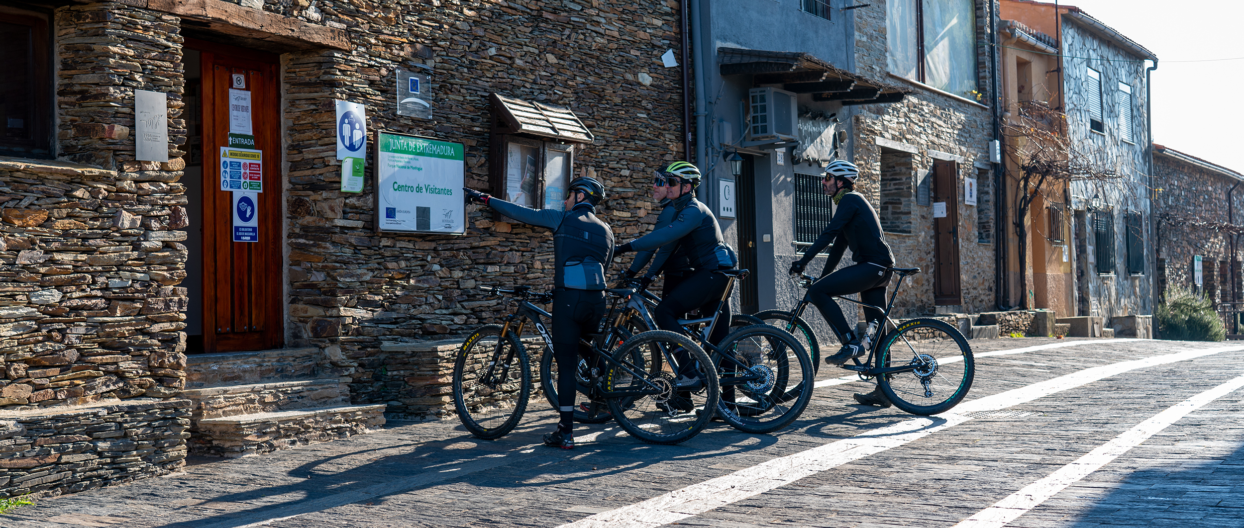
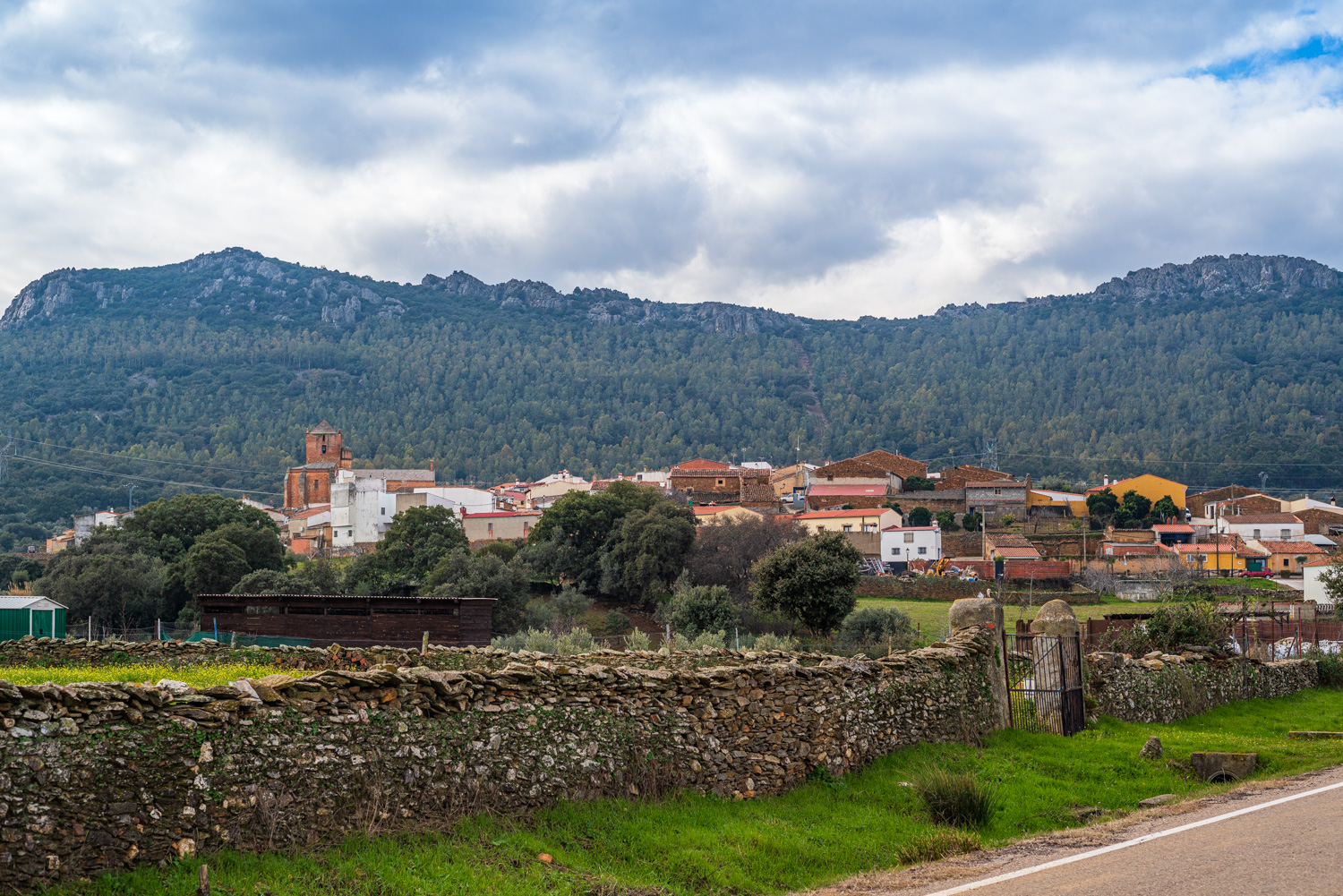
Serrejón
21,18
KM
Route
Round trip
Leaving the route
Serrejón
Difficulty
Low
Difference in height
330,17 m
Duration
2 h
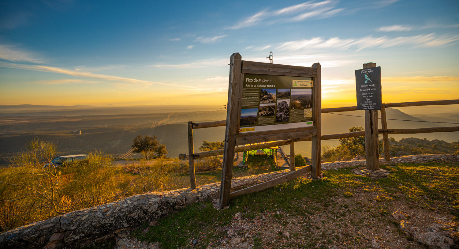
Profile of the itinerary

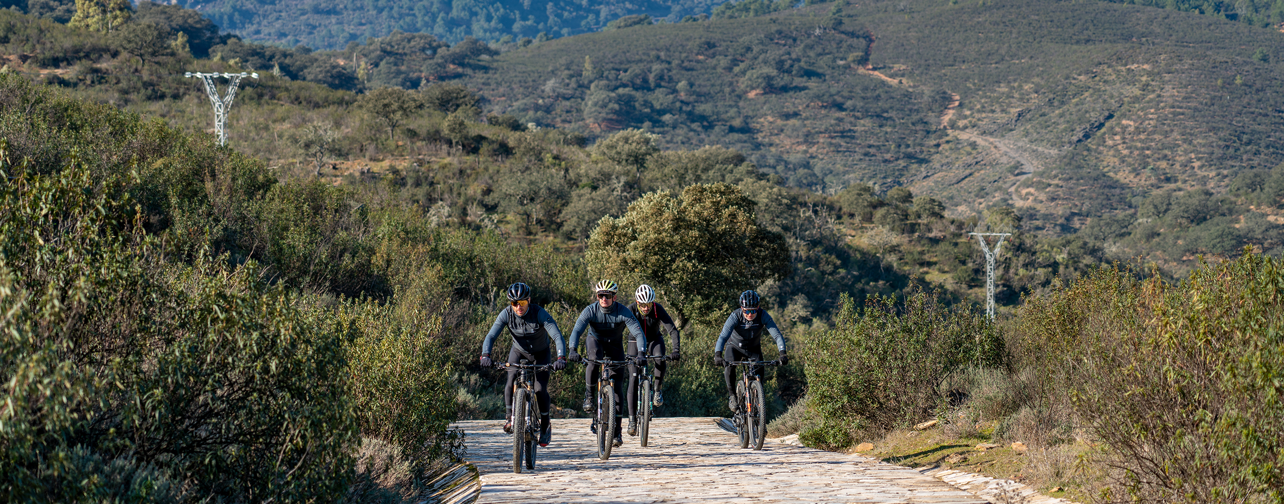
Description of the route
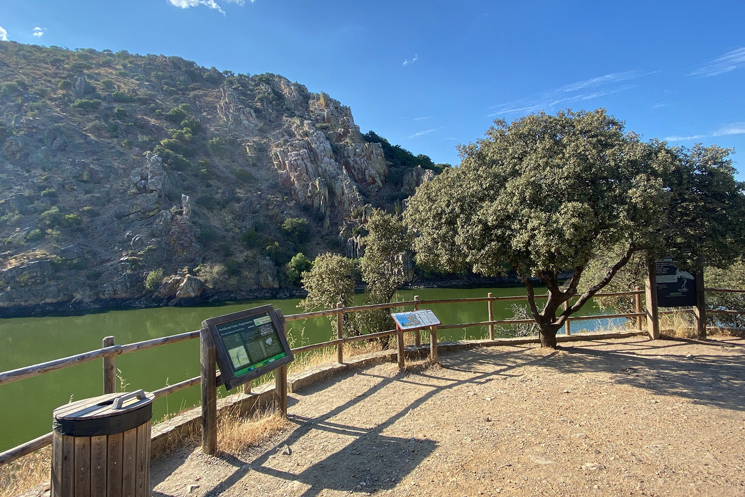
This route has no real complications with the exception of the short descent to the Albalat Bridge, a rocky trail in poor condition. It follows trails with a good surface with some sections of road. Take care at the junction with the N-V main road in the vicinity of Albalat Bridge.
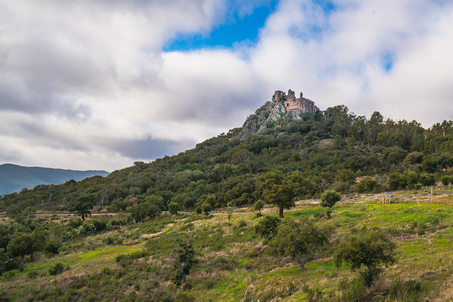
It begins in Serrejón, from where a dirt track of 6 km takes us to the La Anguila Reservoir through extensive dehesas of holm and cork oaks with the presence of domestic cattle. The route continues towards the Arrocampo Reservoir, which it skirts by road to continue along a narrow poorly defined path with abundant vegetation and a reasonably good surface which runs parallel to the EX-389. After passing over the A-5 and reaching the N-V main road, a gently descending path with the final section in poor condition will lead us to the River Tajo. Crossing the Albalat Bridge, one of the most important public works built during the reign of Charles I, is a special moment. At this point it is worth making a stop to admire the quiet waters and the beauty of the bridge. The final section starts with a climb on a trail with an irregular surface which will take us once more through dehesas full of life and lanes between stone walls to the minor road to Higuera de Albalat.