4. Four Wolves
Four Wolves

Nearest village
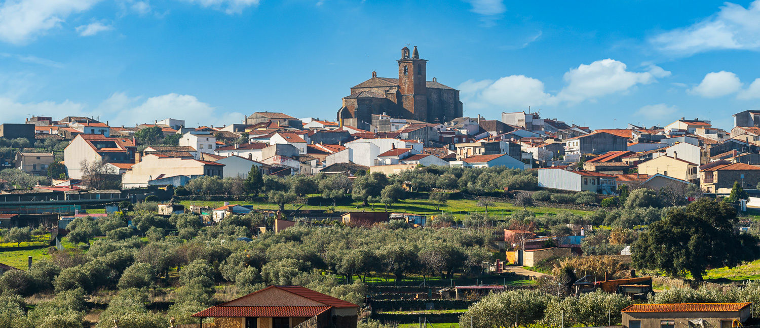
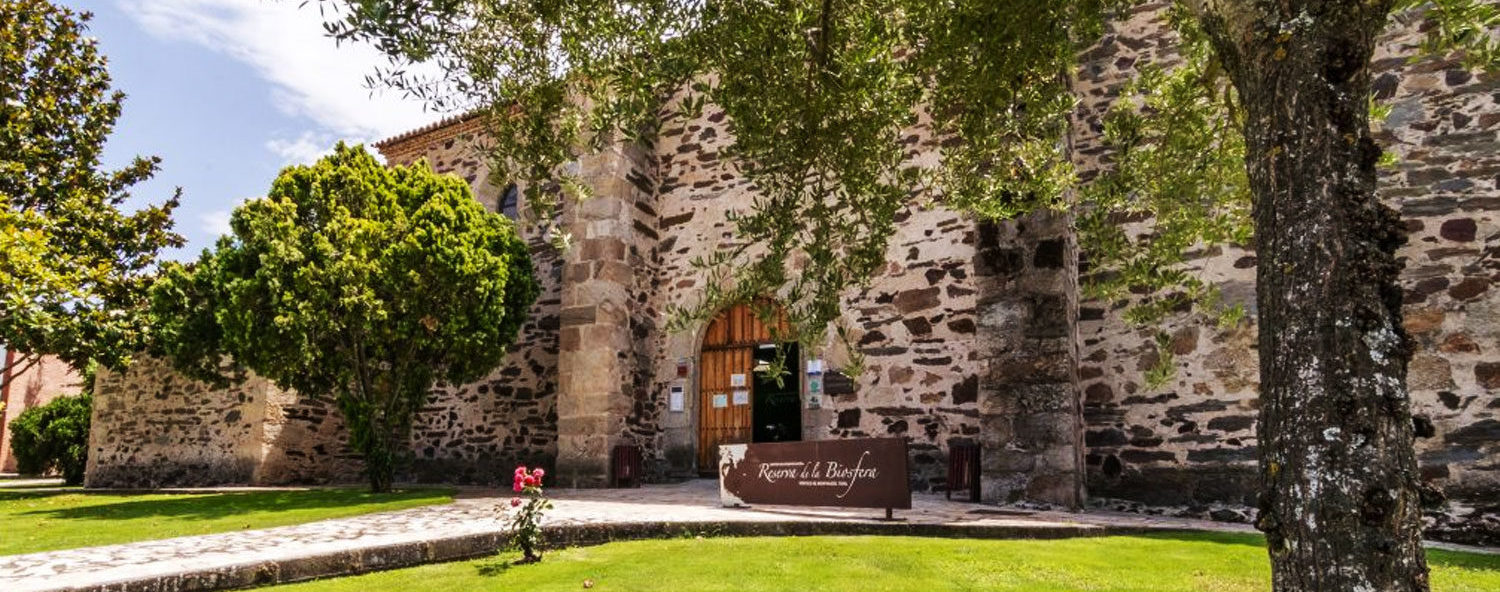
Serradilla
57,3
KM
Route
Circular
Leaving the route
Serradilla
Difficulty
High
Difference in height
987 m
Duration
3 h
Profile of the itinerary

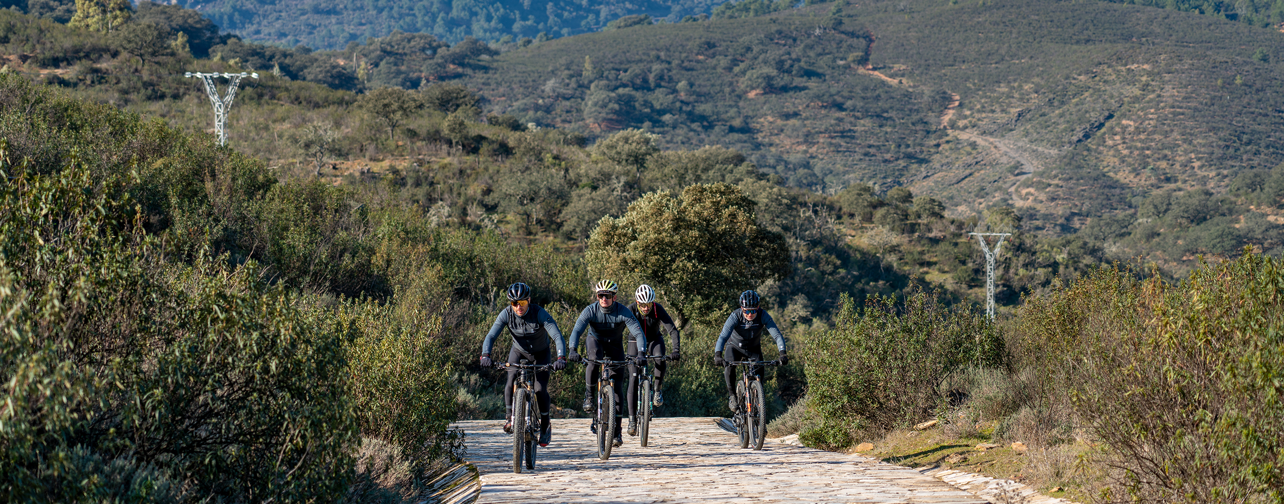
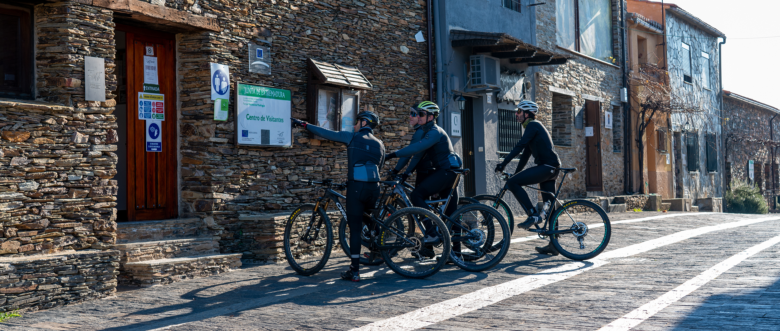
Description of the route
This circular route combines demanding sections of steep slopes and long technical descents with easy dirt roads and surfaced road. The last section between Casas de Millán and Serradilla (18 km) is on the road, which means special attention must be paid to the presence of vehicles as it is narrow and winding and has no verge. Care is also necessary on the level crossings without barriers in Mirabel.
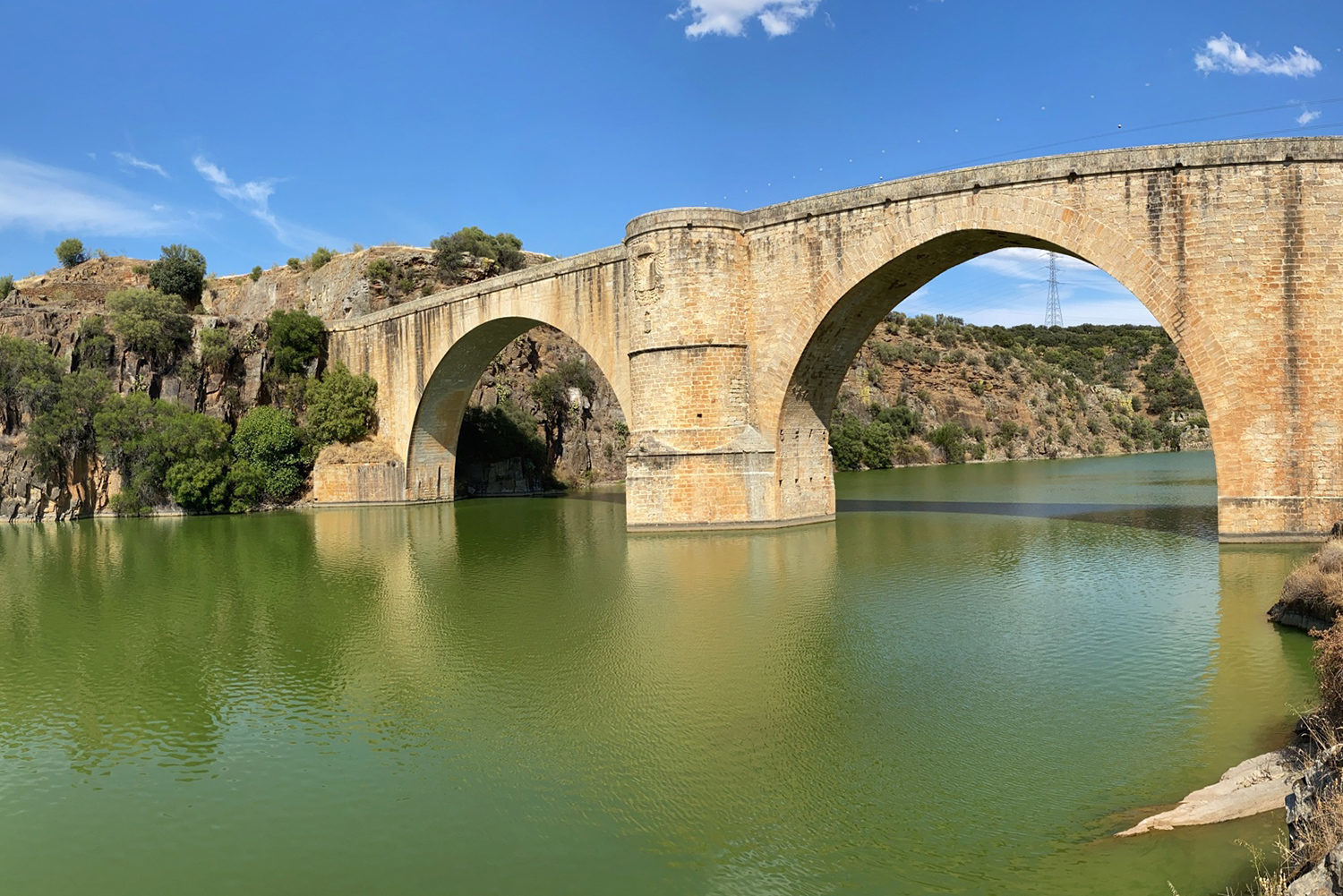
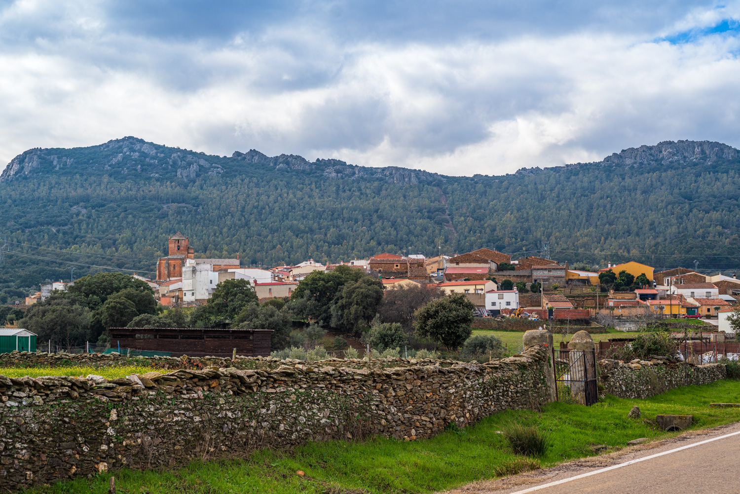
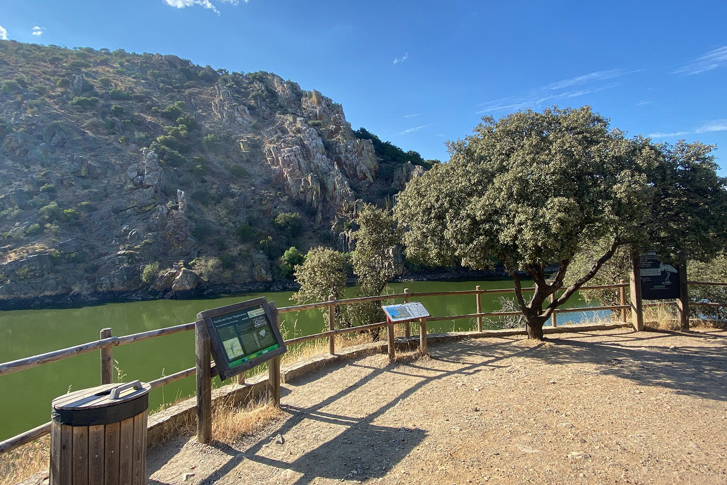
The route begins in Serradilla on a forest trail which connects it to Malpartida de Plasencia. It starts with the climb to the Sierra de la Cueva, that of the Sierra de Enmedio, and that of the Sierra de la Herrera and crosses landscapes of woodland and Mediterranean scrub with pine reafforestation to Mirabel. The route passes the well-known “Canchu del Lobu” (Wolf Rock) where you can enjoy impressive views of the Reserve. After 18 km on the forest trail we take that of Las Perdigueras to continue for a further 8 km to Mirabel. This is an easy trail with a section of surfaced rural road which runs through vast expanses of magnificent dehesas of holm oaks with livestock grazing and several gates. The route crosses the built-up area to allow contemplation of the Palacio and the Church of Our Lady of La Asunción. Mirabel Castle watches over the following part of the route as far as the La Ribera del Castaño Reservoir which then continues to Casas de Millán, where we can get back our strength at its recreation area. At this point the route goes back on itself and following the Natural Tajo Trail returns to Serradilla, leaving behind olive groves, extensive areas of pastureland, and open dehesas of holm and cork oaks with cattle and sheep.