1. Connection: Villarreal de San Carlos – Torrejón el Rubio
Connection: Villarreal de San Carlos – Torrejón el Rubio

Nearest village
Villarreal de San Carlos
14
KM
Route
Round trip
Leaving the route
Villarreal de San Carlos
Difficulty
Average
Difference in height
145 m
Duration
1 h
Profile of the itinerary

Description of the route
(AUTHORISATION)
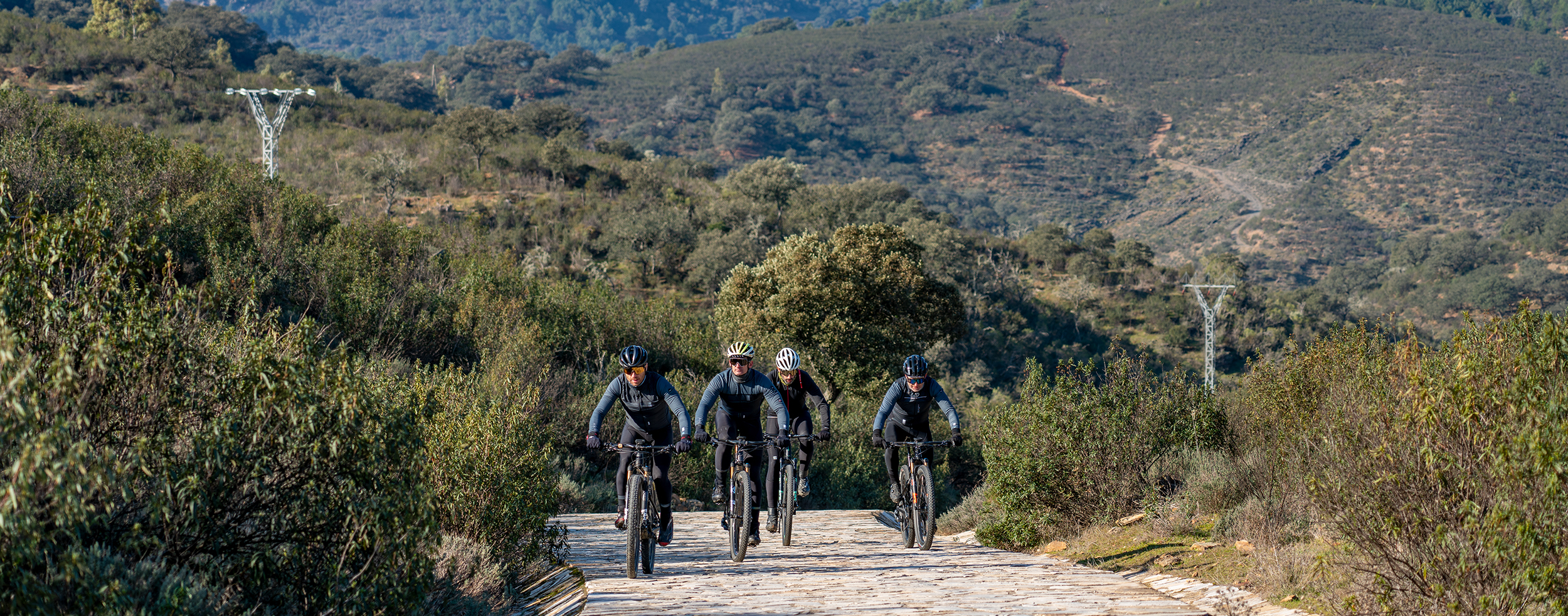
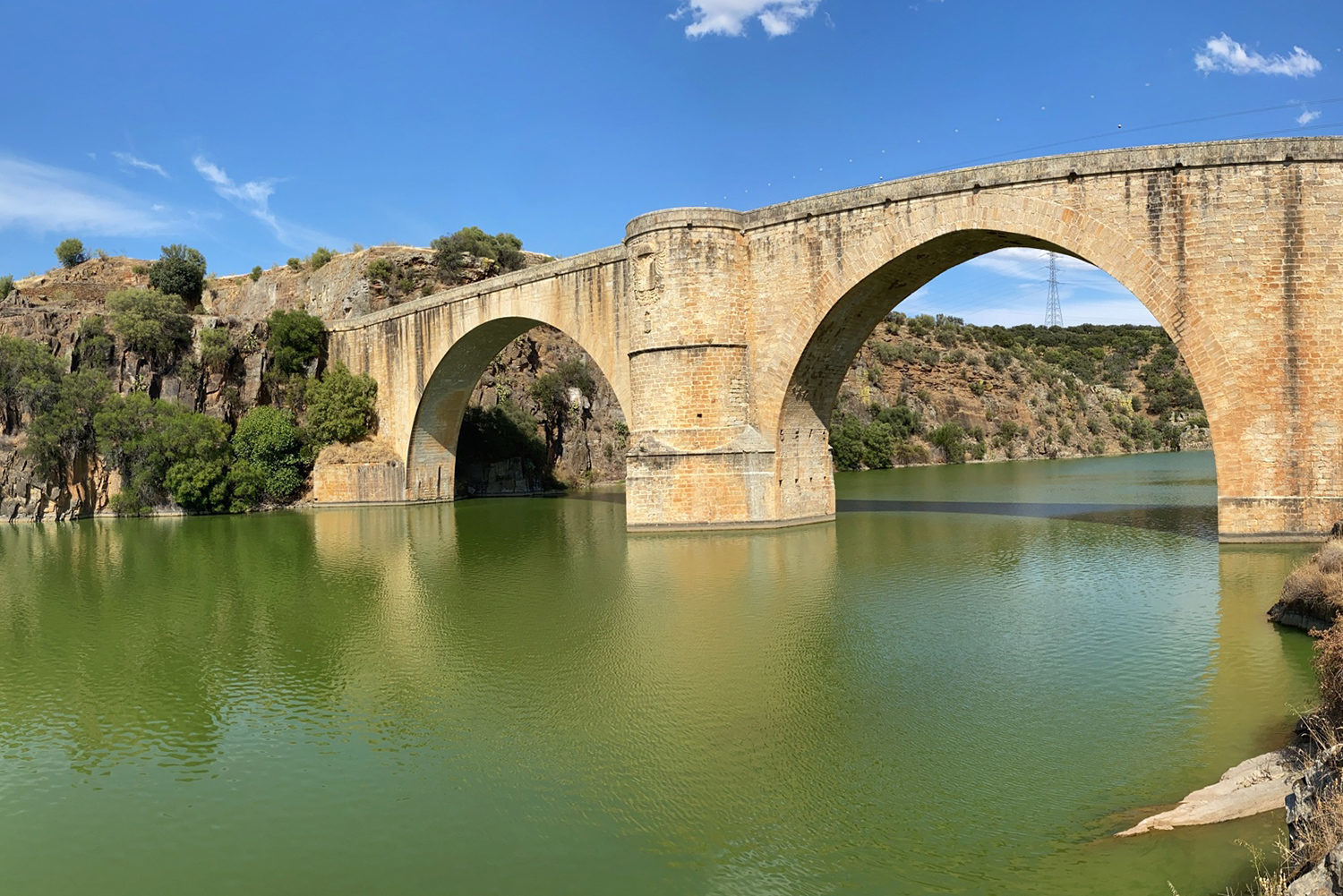
The section begins in Villarreal de San Carlos, heading south and crossing the town via its main street. A few meters in, we encounter the Singular Tree: Almez de Lugar Nuevo (a notable hackberry), just before joining the Cañada Real Trujillana (a historic livestock drovers’ path), which descends to the confluence of the Tiétar River with the Tagus. At this point, near the Mirador del Puente de Cardenal viewpoint, we merge onto the EX-208 road, which we follow until the end of the connection segment. We cross the Puente Nuevo del Cardenal bridge over the Tagus River, locating on the opposite bank the Fuente del Francés (Frenchman’s Spring), a site of marked symbolic value in the área.
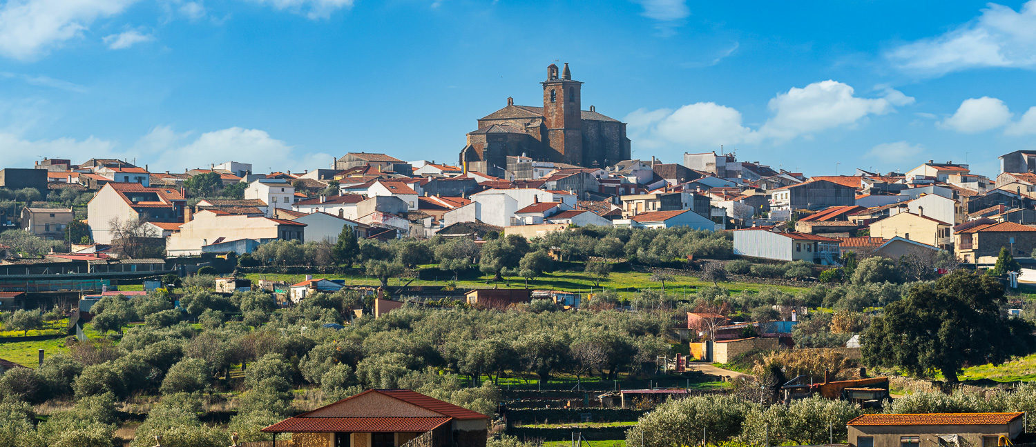
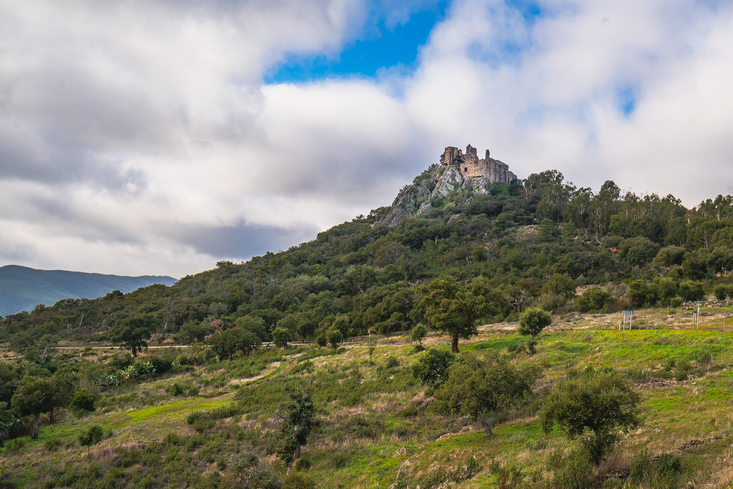
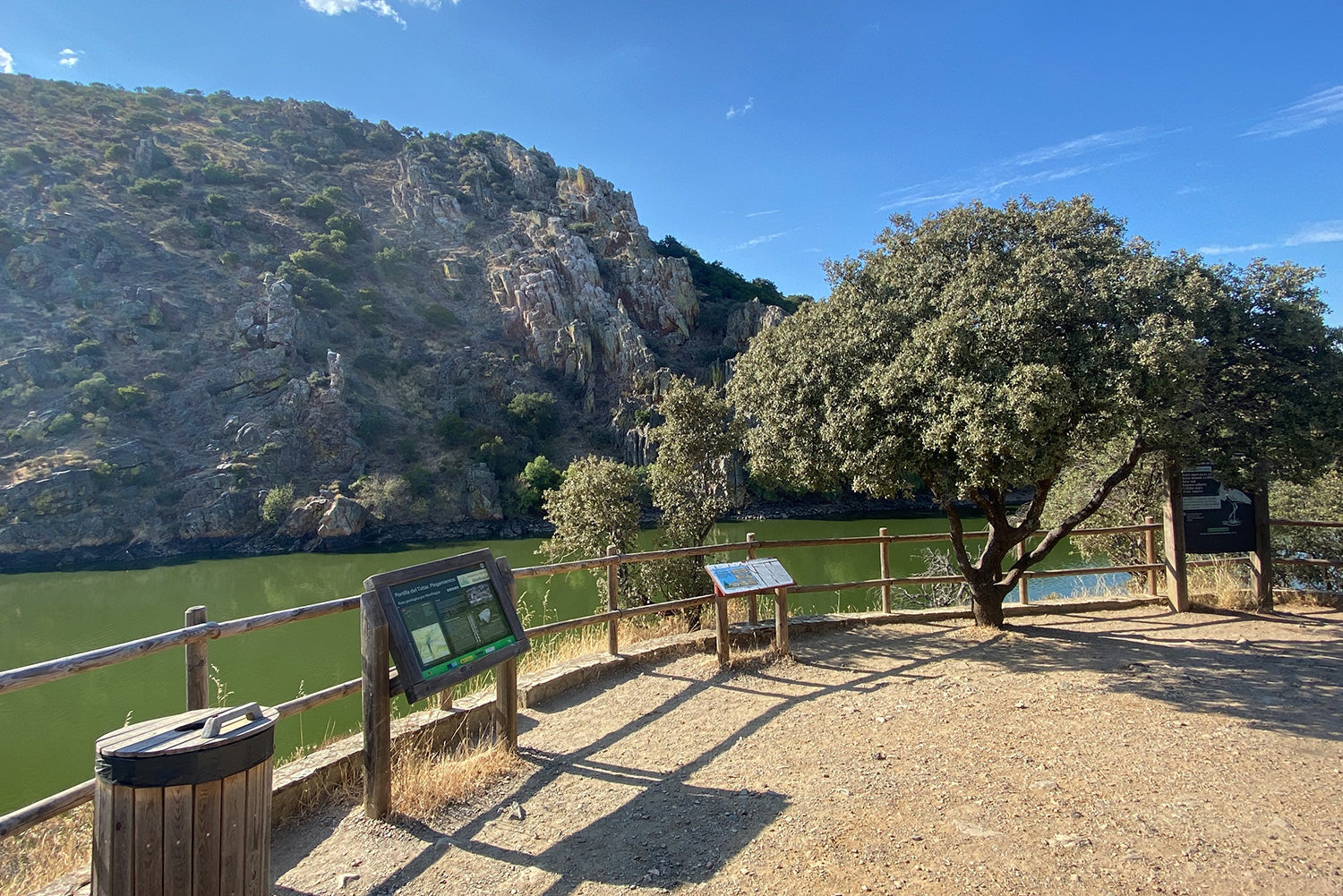
We continue along the road, which runs parallel to the Tagus River, skirting the Sierra de Monfragüe and its castle, as far as the Salto del Gitano viewpoint—a key spot for observing birds such as the griffon vulture, black stork, golden eagle, and peregrine falcon. This stretch coincides with the red itinerary of Monfragüe National Park. We continue with a gentle ascent, leaving to our left first the turnoff to the castle and the Fuente de la Teja spring, and shortly thereafter the Palacio de las Corchuelas, from where we descend to the Arroyo de la Vid stream. After crossing it, we encounter a zigzag climb followed by a very flat section until we reach Torrejón el Rubio, where we have two options: return via the same path or complete the loop of the Transhumance Route.