![]() Hiking
Hiking
(Short-distance Paths)
5. La Piñuela
La Piñuela
PR-CC 64

Nearest village
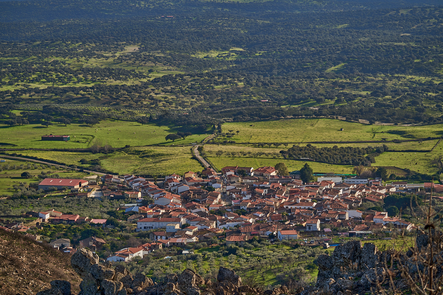
Casas de Miravete
11,4
KM
Circular
Starting point
Casas de Miravete
Difficulty
Very low
Difference in height
233 m / 233 m
Duration
3:20 h
Profile of the itinerary

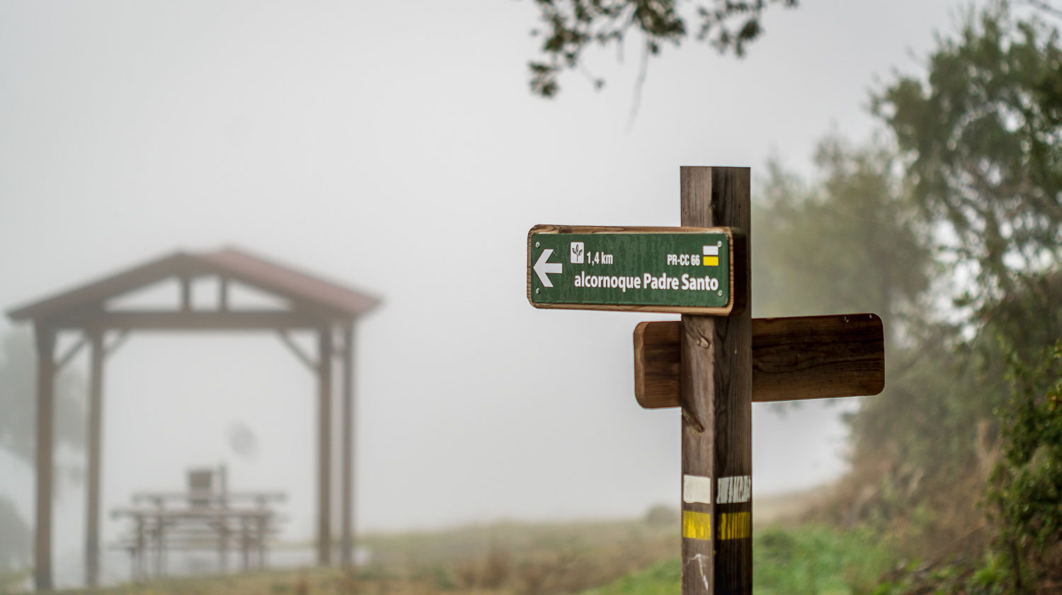
Description of the route
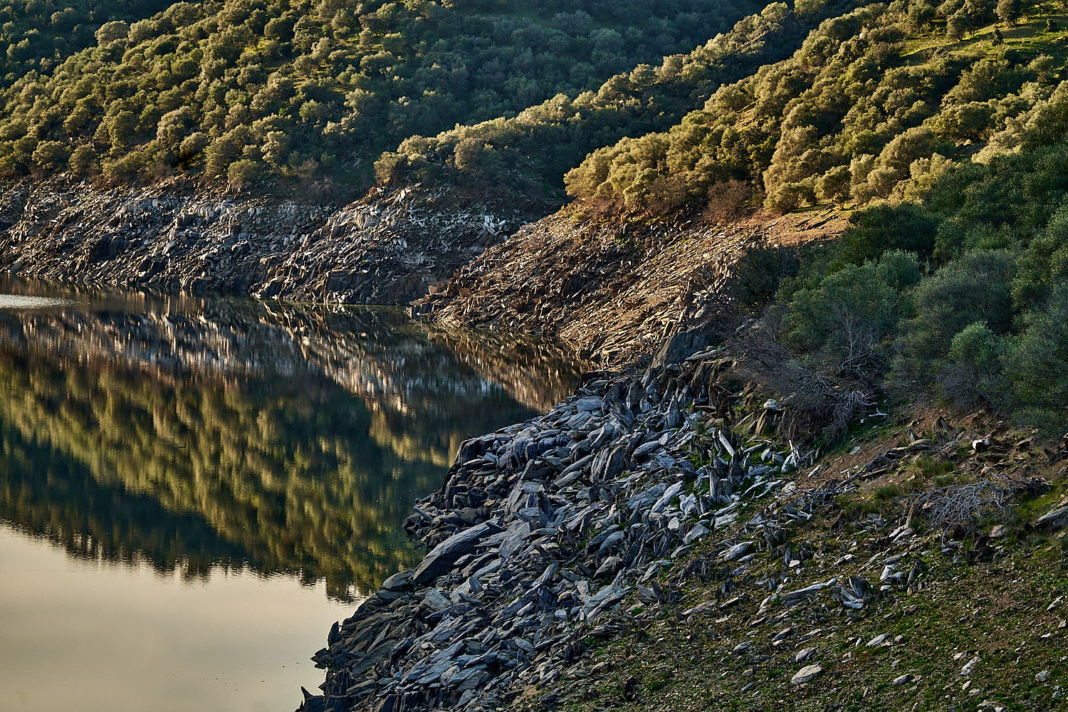
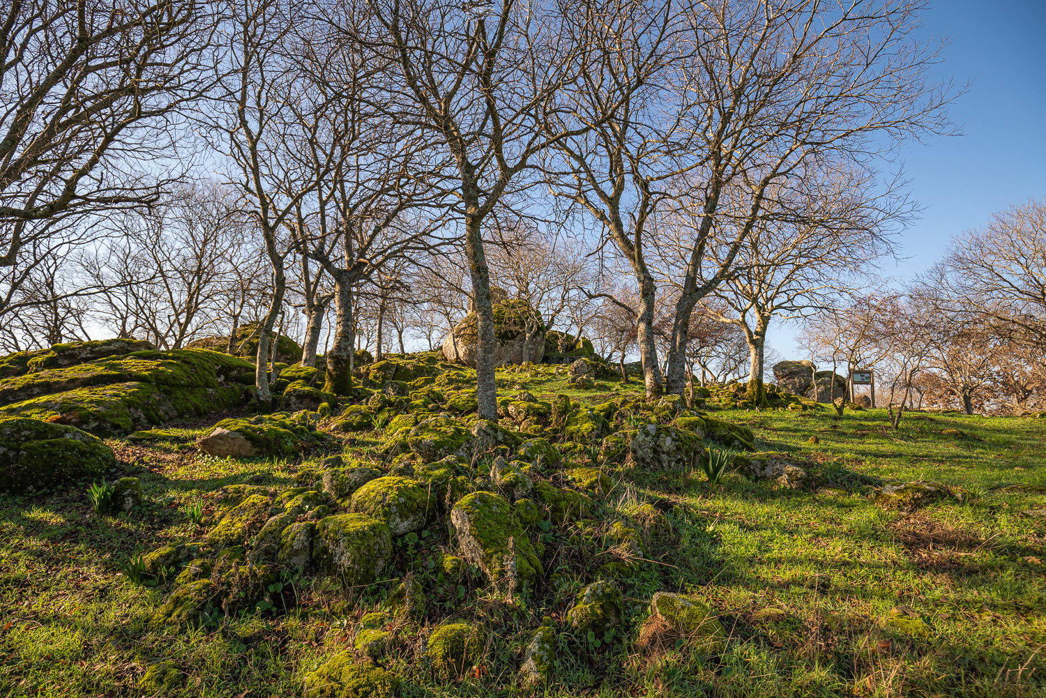
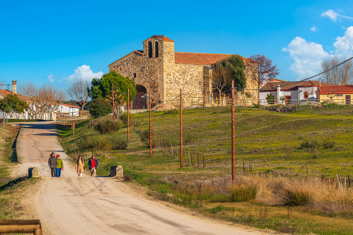
The path starts opposite the Monfragüe Geocentre in the village of Casas de Miravete. From here it follows the trail of Los Alcornoques, advancing along the foot of the sierra between stone walls and passing the ruins of the Church of La Piñuela (the last vestiges of an old village which was destroyed during the War Of Spanish Succession in the 18th century) before turning to the north to penetrate the dehesa of common land of Casas de Miravete. Following the bed of the Giraldo Stream, it passes the Zamarro Reservoir and the Era de los Santos, which has been converted into an enclave for stargazing, to finally return to the starting point.
This route has its difficulties as the second sector follows poorly marked paths and has certain differences in height with slopes to be taken into account, in particular on the section starting at the Zamarro Reservoir. It also runs through a large part of the dehesa of common land of Casas de Miravete where there is much free-roaming livestock, especially cattle, which makes it important to close the gates after us and to keep any dogs on a lead to avoid any incident.
The route runs through olive groves to penetrate an area of Mediterranean woodland with abundant cork oaks and shrubs. In the surrounding sierras an important community of birds of prey can be observed, especially griffon culture colonies.