![]() Hiking
Hiking
(Local Paths)
3. La Breña
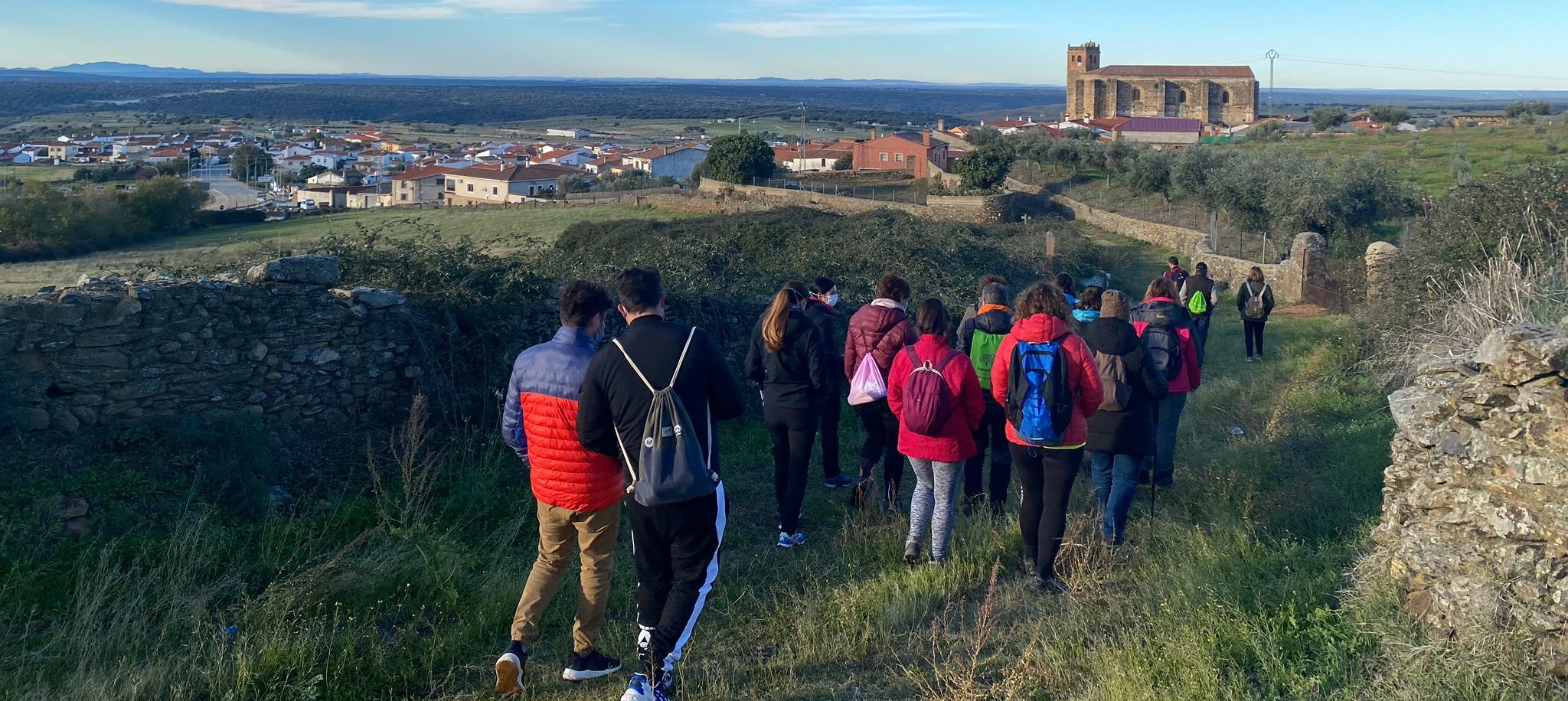
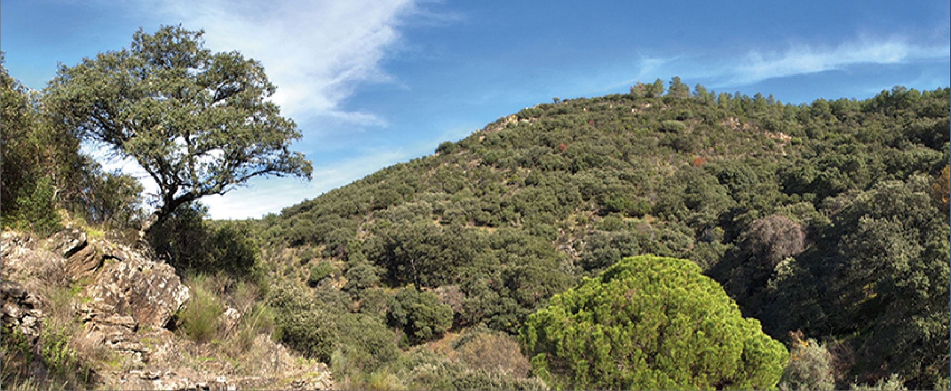
La Breña
SL - CC 42

Nearest village
Deleitosa
7,3
KM
Circular
Starting point
Deleitosa
Difficulty
Low
Difference in height
203 m / 203 m
Duration
2 h
Profile of the itinerary

Description of the route
The route starts from kilometre 9.3 on the EX-386 road opposite a picnic area just before entering Deleitosa. From here it ascends on the Romangordo road to the Sierra de la Breña where it reaches a chapel. At this point it runs through the shady side to surround the sierra completely and return to the starting period on the sunny side.
It is a simple and easy route to follow owing both to its distance and to the good condition of the trails; apart from the initial climb to the Chapel of La Breña the slopes are not steep.
The Sierra de la Breña is a perfect example of the Appalachian relief of the Monfragüe Biosphere Reserve where Armorican quartzite can be contemplated, in this case with a striking system of fractures which are harder than the remainder of the materials of which it consists. On the crests griffon vultures, Egyptian vultures, and black storks can be seen.