![]() Hiking
Hiking
(Local Paths)
4. Las Fuentes
Las Fuentes
SL - CC 46

Nearest village
Jaraicejo
7,5
KM
Circular
Starting point
Jaraicejo
Difficulty
Average
Difference in height
565 m / 495 m
Duration
2 h
Profile of the itinerary

Description of the route
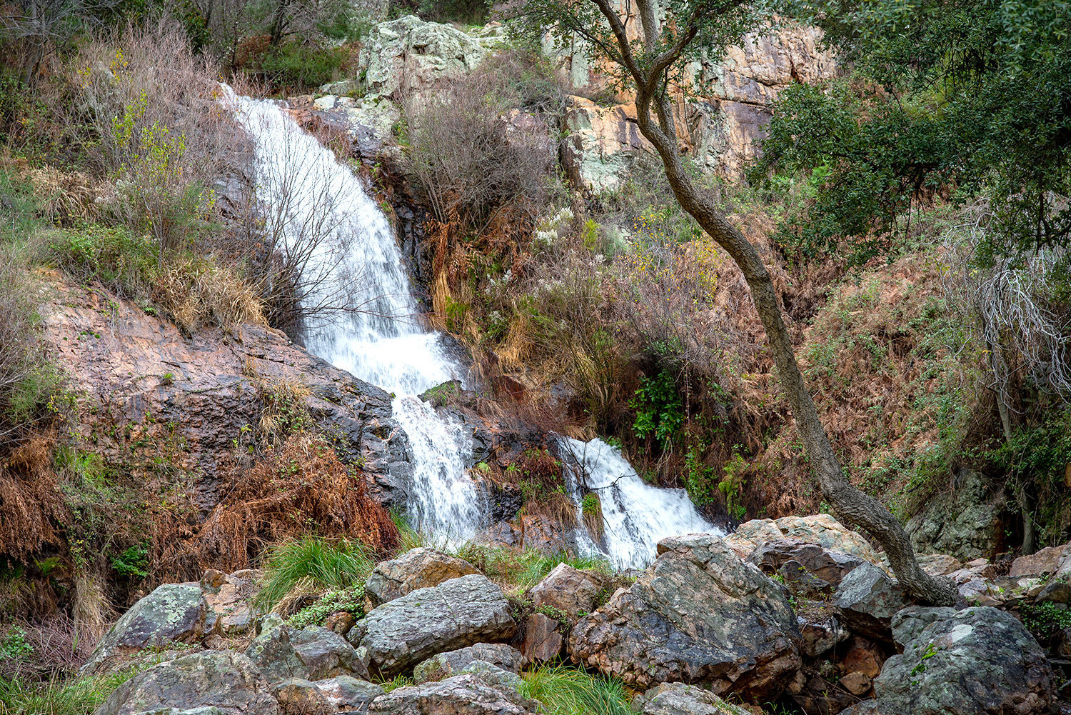
The starting point of the route is the plaza of Jaraicejo; it follows a circle around the village to visit several fountains (fuentes). It first runs eastward past the fountains of Arriba, Abajo, and El Camino, and after crossing part of the alluvial deposits or the Mesa de Cantalgallo on the drovers’ road of the Puerto del Pico and Miravete it returns from the north and passes the fountains of El Valle and La Cañá.
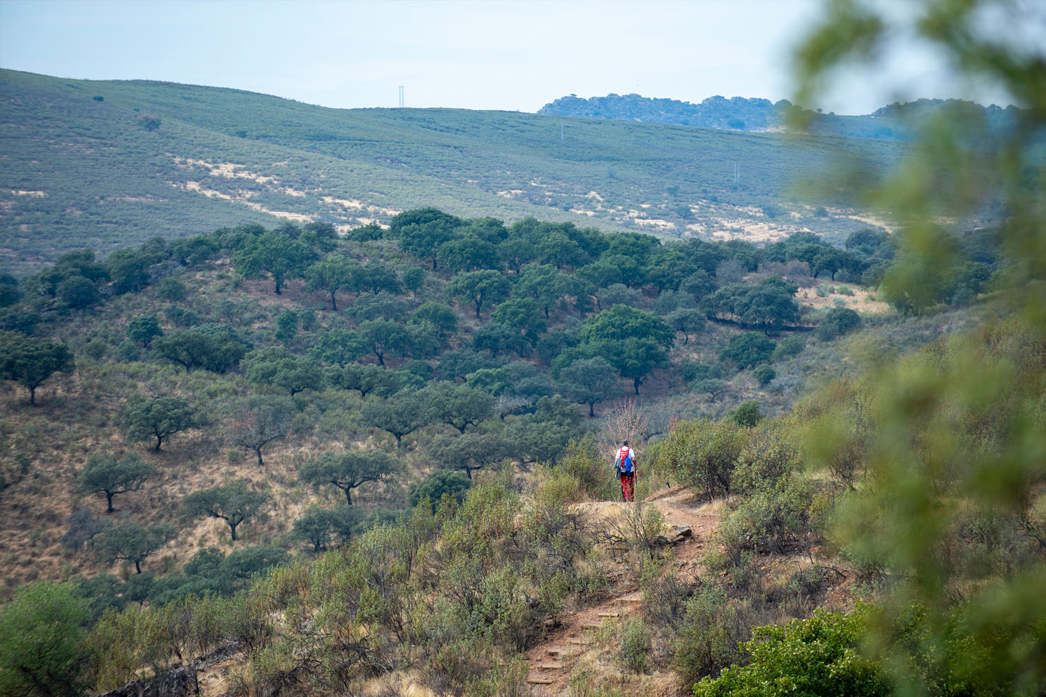
Despite the fact that it is not a long route (7.5 km), it is rather demanding as it includes steep slopes both climbing and descending the alluvial deposits and some sections must be undertaken with care.
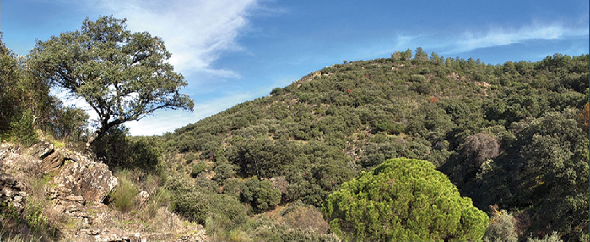
The route starts among smallholdings of olive trees separated by stone walls and then penetrates a landscape dotted with broom and rockroses among holm and cork oaks to climb the hillside of the alluvial deposits or the Mesa de Cantalgallo. On the way we can enjoy an interesting community of birds such as the chaffinch, golden oriole, great spotted woodpecker, azure-winged magpie, and birds of prey such as the booted eagle, buzzard, and griffon vulture. Thanks to the abundant water filtrations, the hillsides of the alluvial deposits also show a great botanical and mycological diversity.