![]() Hiking
Hiking
(Thematic Routes)
1. Dehesas de Maulique
Dehesas de Maulique
23,1
KM
Circular
Starting point
Toril
Difficulty
Low/Average
Difference in height
145 m / 145 m
Duration
6 h
Profile of the itinerary

Description of the route

The route leaves Toril to make for the Plasencia drovers’ road and crosses the Dehesa de Ambrona towards the west parallel to the River Tiétar. It crosses dehesas and fields of irrigation crops before returning to Toril. It is an easy route to follow owing to its flat relief although it is demanding because of its length which makes it almost more suitable for MTB than as a hiking route. In any case it follows trails in very good condition, although it should be taken into account that about 40% of the itinerary is on surfaced roads (including two sections of the EX-108) and that it twice crosses the Madrid-Cáceres railway line on level crossings without barriers.
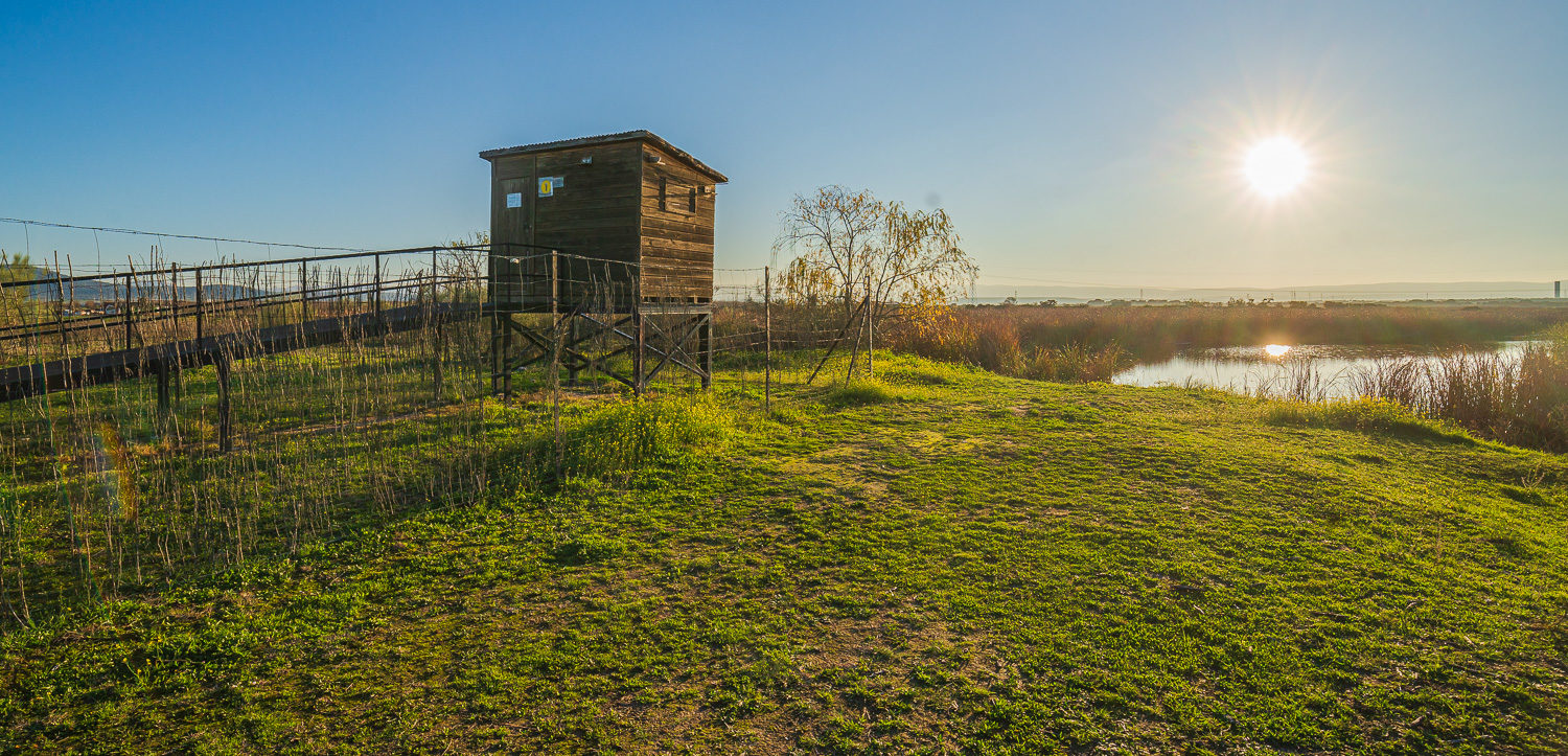
The route runs through impressive dehesas of holm and cork oaks to the fertile plain of the Tiétar, where the vegetation changes to that of irrigation crops, in particular tobacco and peppers which are used to make the well-known paprika from La Vera. On the way we can also see the Pinar de la Torrontera, a grove of the pinaster pine which is a relic of the extensive autochthonous forests of this species formerly to be found on the banks of the River Tiétar. These dehesas and irrigated area are the habitat in the Reserve which thousands of cranes choose to spend the winter.
See more paths


